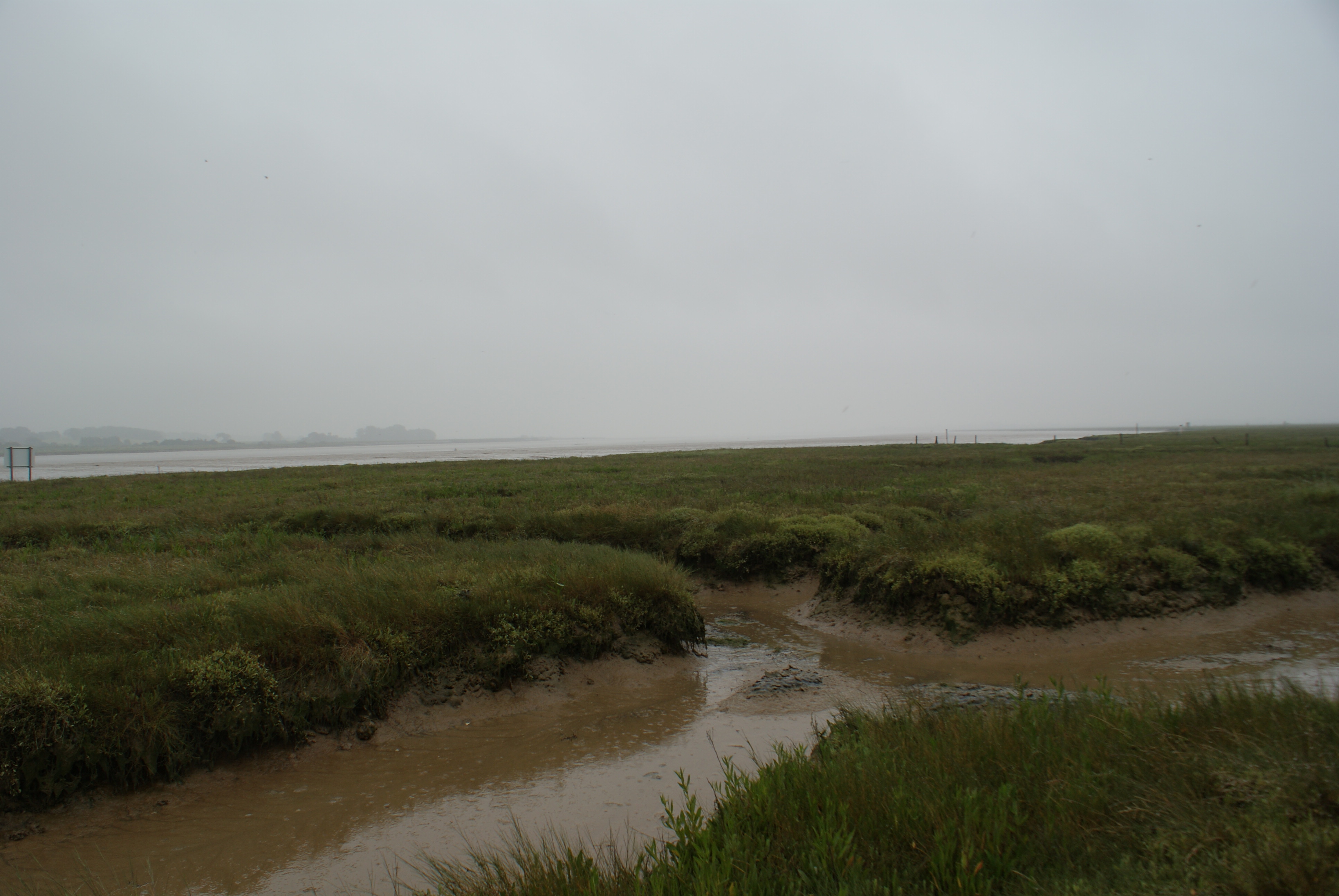
Of all of the different habitats that form the UK, coastal systems are the most immediately sensitive to climate change. As temperatures increase, sea-levels will rise and the forces experienced at margin between land and sea will become stronger. Salt marshes, sand flats, beaches and rocky shores will all be impacted but of these the most sensitive to these changes will l be the mudflats and salt marshes that are a common feature of coastal systems. The total area of estuarine habitat in the UK has been estimated as c 588,000 ha of which 55% is intertidal area comprised of mudflats, sand flats and salt marsh. Apart from being attractive places for walking and other leisure activities, these systems also play an important role in the ecology of the UK. They support many animals and plants which are valuable to the economy but are also sites of carbon storage, nutrient recycling and pollutant capture and destruction. Therefore the preservation of these systems is important and active management will be needed to save them.
The Natural Environment Research Council has requested a proposal to help understand the linkages between the important functions that these systems provide (ecosystem service flows) and the organisms (biodiversity) that help provided these services. Most previous work of this type has been conducted in laboratory or at small spatial sales. This is no longer acceptable and what is required by coastal managers is a clearer understanding of ecosystems service flows at much larger spatial scales, e.g. entire salt marshes or regions of intertidal flat and salt marsh which form large geographic features. The programme we are proposing “A hierarchical approach to the examination of the relationship between biodiversity and ecosystem service flows across coastal margins” will provide these answers. We have assembled a consortium of UK experts ranging from microbial ecologists to environmental economist and mathematical modellers to create a study that spans across these spatial scales. Included in the consortium are organisations like the BTO and the RSPB who have a vested vast interest in the results.
CBESS will investigate how biodiversity stocks provide the following ecosystem services (cf. National Ecosystem Assessment).
- Provisioning: resource harvesting (grazing, fish, shellfish), recreation activities (bird-tourism, wild-fowling)
- Regulating: coastal protection (wave attenuation, erosion protection), climate regulation (carbon sequestration)
- Supporting: nutrient cycling (N, C), structural habitat provisioning (e.g. for birds)
- Cultural services: walking, canoeing, angling, birding, hunting and aesthetic appeal
CBESS will combine the detailed study of two regional landscapes with a broad-scale study across the UK for validation and inferences on generalities of findings. The Regional study will contrast and Morecambe Bay on the west coast with the Greater Essex coastline (East coast). Each of these areas is of great local and national importance. We will measure the properties of these systems (including biodiversity, habitat stability, carbon capture, and nutrient turnover) at more than 600 stations and use this data to report the role of biodiversity in providing these important ecosystems function. This information will be shared with those interested in using and managing coastal systems. After this period of analysis we will propose practical methods and improved tools for the analysis and management of these systems to help preserve them for the future.
More details can be found here